
Sarino Alfonso Grande | About Me | GIS Consultant in Calabria
Dr. Sarino Alfonso Grande
GIS & WebGIS Analyst, Calabria
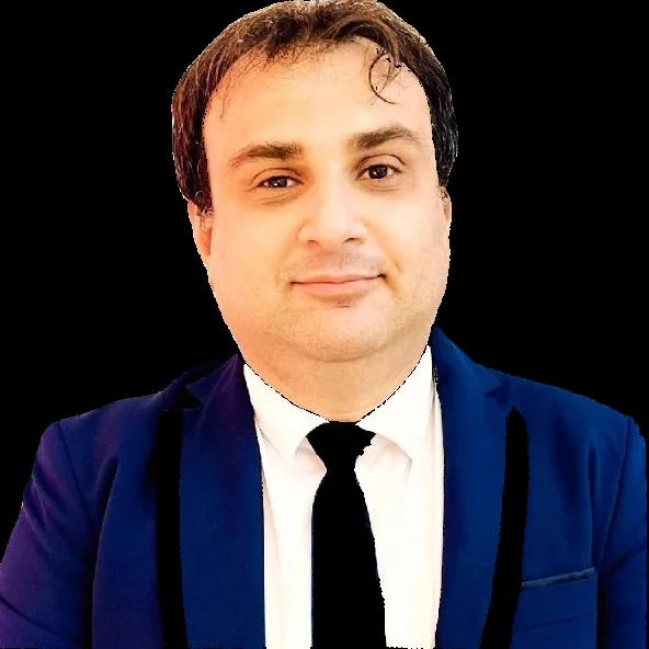
Sarino Alfonso Grande
Let me introduce myself: I'm Sarino Alfonso Grande, and I hold a degree in Environmental Sciences. This is the section of my site dedicated to my biography, my achievements and my skills.
Sarino Alfonso Grande is a professional specialized in Geographic Information Systems (GIS) and geospatial technologies, with a solid background in Python programming and environmental sciences. His experience ranges from developing mapping and territorial analysis solutions to integrating Artificial Intelligence (computer vision and generative AI) into GIS projects, including drone operations for surveys and aerial photogrammetry. He currently works as an independent consultant, delivering innovative GIS solutions by combining advanced technical skills with creativity.
Core Areas of Expertise
Geospatial & GIS
Specialized in GIS, remote sensing and drone photogrammetry, combining ecological and territorial expertise for mapping and environmental monitoring projects.
Software Development (Python)
Expert in Python programming for automation, data analysis and the development of custom GIS plugins/scripts.
UAV & Photogrammetry Technologies
ENAC-certified drone pilot (category A2) with experience in aerial photogrammetric surveys and advanced remote sensing.
AI & Geo Integration
A pioneer in combining AI and GIS, he has developed computer vision solutions for recognizing road signage and other territorial features.
Work Experience and Key Projects
Collaborations with innovative companies
Worked with organizations such as GTER srl (Genoa) and Geo-Data Service S.r.l. (Taranto), contributing to territorial analysis projects and GIS software development.
Developer of the Spatiqon platform
Led the development of Spatiqon, an on-demand GIS hosting platform, used by notable clients such as Aerialclick.
Tempa Rossa Project
Implemented a custom GIS system for the Tempa Rossa Project in the energy sector, demonstrating the adaptability of GIS technologies to industrial and environmental contexts.
DidatticamenteGIS platform
Creator and developer of DidatticamenteGIS, an on-demand GIS training platform, with courses and interactive materials.
Computer vision solutions for GIS
Developed algorithms for automatic recognition of territorial features, optimizing the maintenance of photovoltaic installations.
Technical publications and conferences
Author of numerous articles on GeoSmart Magazine and speaker at international conferences (FOSS4G-Asia 2023, Technology for All 2023).
My Track Record in Numbers
My Interests
Frequently Asked Questions
Sarino Alfonso Grande has advanced skills in Geographic Information Systems (GIS), Python programming, WebGIS development, UAV technologies and photogrammetry, integrating artificial intelligence into geospatial projects, remote sensing and developing cloud solutions for hosting GIS platforms.
Among the most significant projects: developing the Spatiqon platform for Aerialclick, implementing a GIS system for the Tempa Rossa Project in the energy sector, creating the DidatticamenteGIS training platform, and developing computer vision solutions for recognizing territorial features.
Sarino Alfonso Grande holds a degree in Environmental Sciences, with ENAC drone pilot certification (category A2) and QGIS certification as an expert user. He has taken part in numerous conferences and workshops specialized in the geospatial field.
You can contact Sarino Alfonso Grande through the contact form on sinocloud.it, by email at info@sinocloud.it, or by phone at +39 327 2920135. He's available for consultations both in person and remotely, ensuring effective support for every need.
Want to Work Together?
I'm open to new professional opportunities and collaborations