
—
--:--:--

Blender Reconstruction — Interactive 3D landslides | SinoCloud

Interactive 3D model

Projects

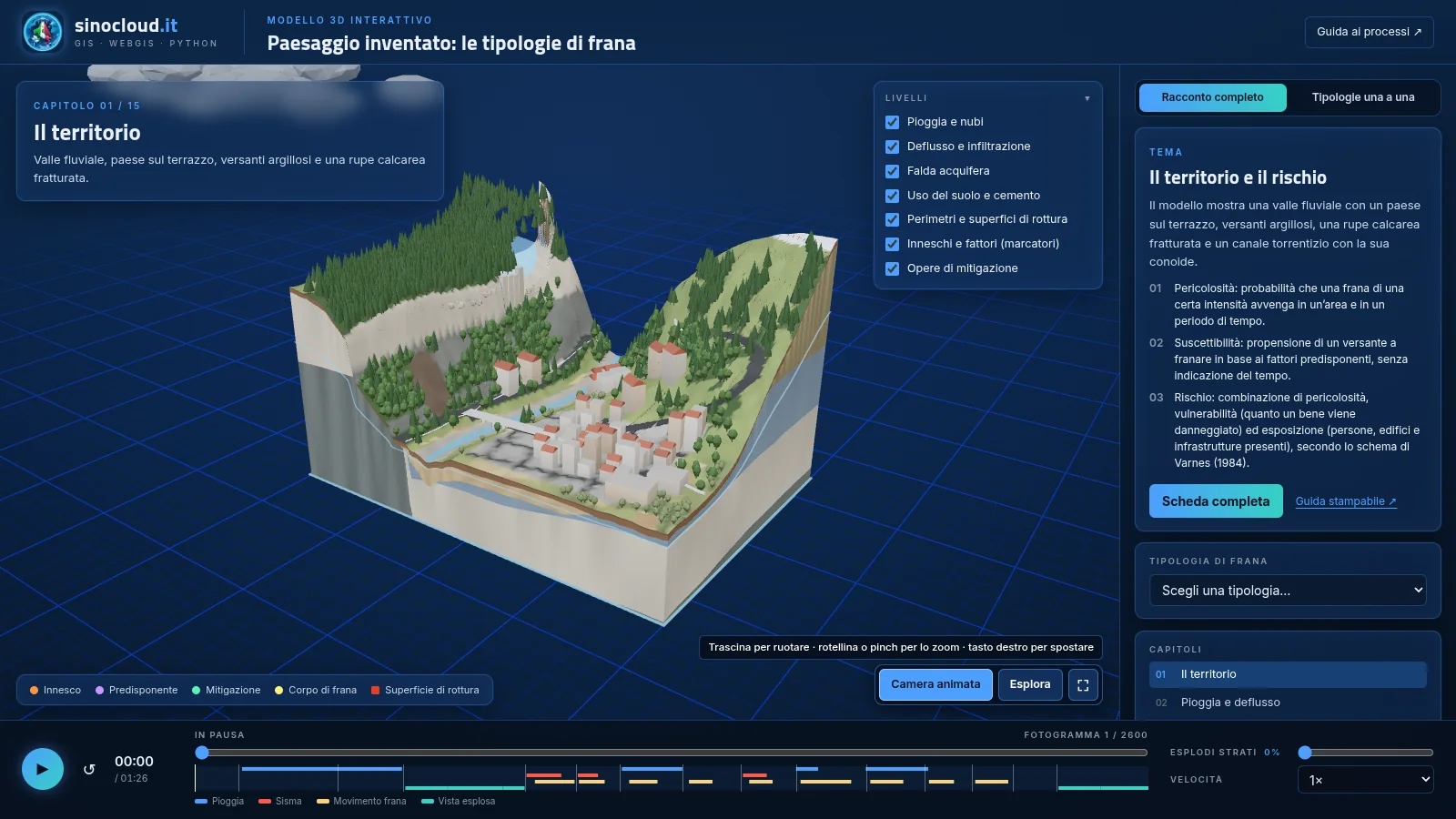
Interactive 3D landslide model: valley, town, geological layers and rainfall Open in 3D
Geology · Hydrogeological risk

Landslides 3D

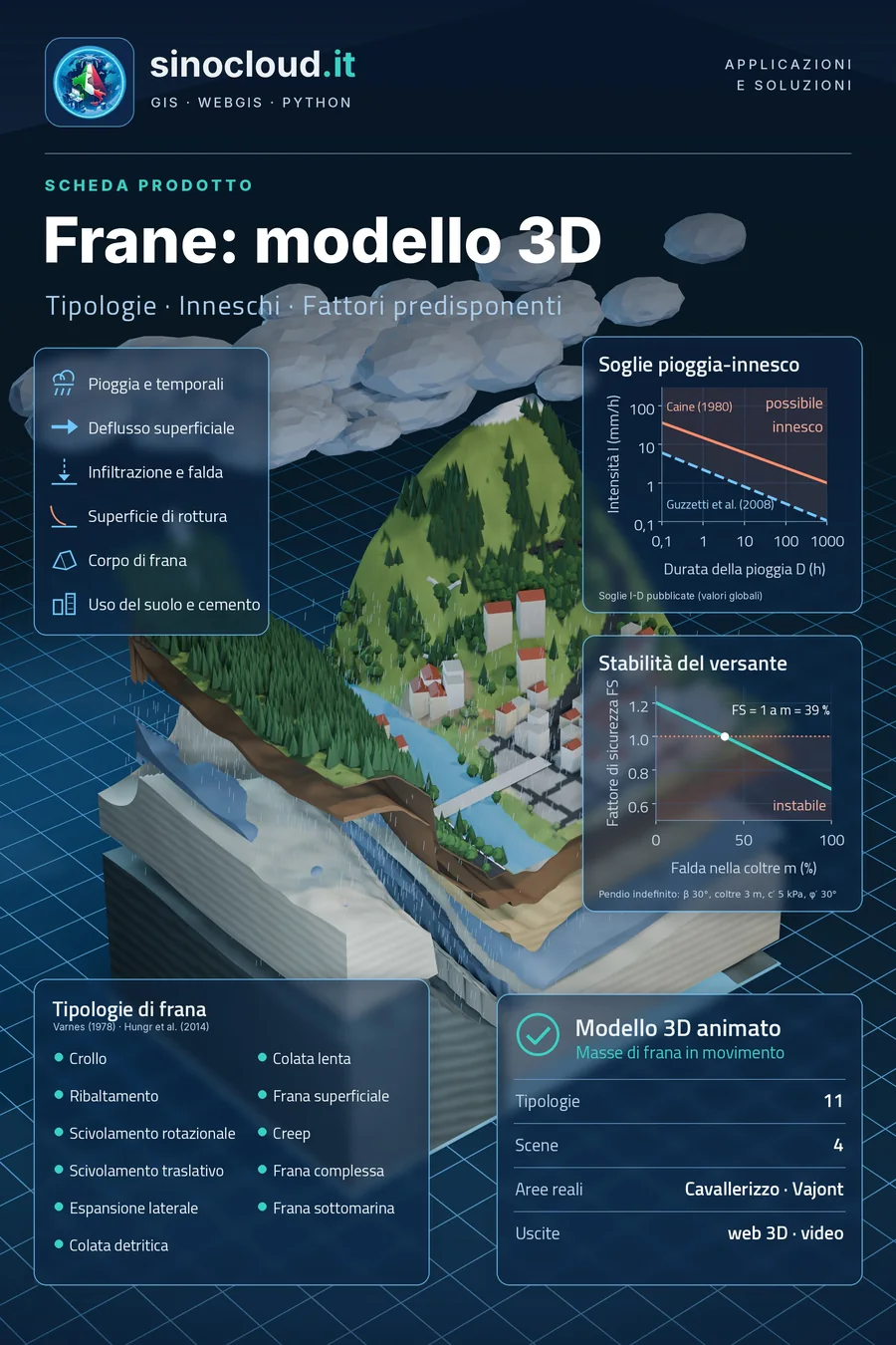
Landslide types, triggers and predisposing factors in an animated 3D model: the landslide bodies are 3D masses that move, and the block opens up layer by layer.

  • Landslide types according to Varnes (1978) and Hungr et al. (2014), viewable one at a time, animated and exploded
  • Rainfall, runoff, infiltration and groundwater; land use and soil sealing
  • For each type: mechanism, triggers, warning signs, monitoring and mitigation, with a printable guide
  • Real case studies on real terrain and orthophotos are being added

Runs in the browser (WebGL), no installation. A desktop computer is recommended; the model downloads about 15 MB.
Method

From data to the interactive model

1

Real data

5 m terrain model, orthophotos, buildings and landslide inventories, with sources and licences.

2

Physics and kinematics

Rupture surfaces, movement by mechanism, shallow water simulations for waves and floods.

3

Blender

3D masses, geological layers, exploded views, cameras and animation, built by script and reproducible.

4

Web and video

Export to a lightweight 3D viewer that works in the browser, plus videos and posters.

Landslides 3D poster
Coming next

Real case studies

Each landslide type will be shown on a documented real event, on the real terrain, with photographs and verified scientific sources.

Cavallerizzo di Cerzeto 2005 Vajont 1963 Submarine landslide and tsunami