
Products and Software Solutions | SinoCloud
My Products
Advanced GIS software and applications that combine innovation and ease of use. Discover the solutions signed by Sarino Alfonso Grande and the Sinocloud.it team.
Innovative Solutions
Every product offers advanced functions for data management and analysis, with user-friendly interfaces and professional support.
 Open Source
QGIS Ledger
QGIS Ledger is the open source plugin for version tracking and native cloud saving on QGIS 3 and 4. Manage your geospatial data in SQLite.
Learn more Open Source
Quick CRS Fixer
QUICK CRS FIXER is the plugin for advanced Coordinate Reference System diagnostics. It detects anomalies and suggests EPSG codes via OpenStreetMap and Wikipedia.
Learn more Open Source
GeoCSV Mapper
GEOCSV MAPPER is the ultimate bridge between tables and cartography. Universal parsing for complex sexagesimal formats (DMS) and native export to GeoPackage.
Learn more Open Source
Q-Press
Q-PRESS generates professional cartographic PDFs from QGIS: select an area with Shift+Drag and export the map, scale, grid, legend and topographic profile.
Learn more Open Source
GeoBridgeIT
GEOBRIDGEIT is the unofficial QGIS client for the IGM API: converts coordinates and vector layers between ETRS89, RDN2008, Roma40 and ED50.
Learn more Open Source
STAC Browser
STAC BROWSER finds open satellite data (Sentinel, Landsat, DEM) by drawing an area, with selective COG download and NDVI/NDWI calculation.
Learn more Open Source
TAF Italia
TAF ITALIA downloads and converts the cadastral reference points (Punti Fiduciali) from the Italian Revenue Agency into WGS84, ready for CSV export to QGIS.
Learn more Open Source
Profili, Sezioni e Comuni
PROFILI, SEZIONI E COMUNI calculates elevation profiles and cross-sections with cut/fill volumes, downloads the TINITALY/HR-DTM-5m DTM and searches municipalities via the official ISTAT archive.
Learn more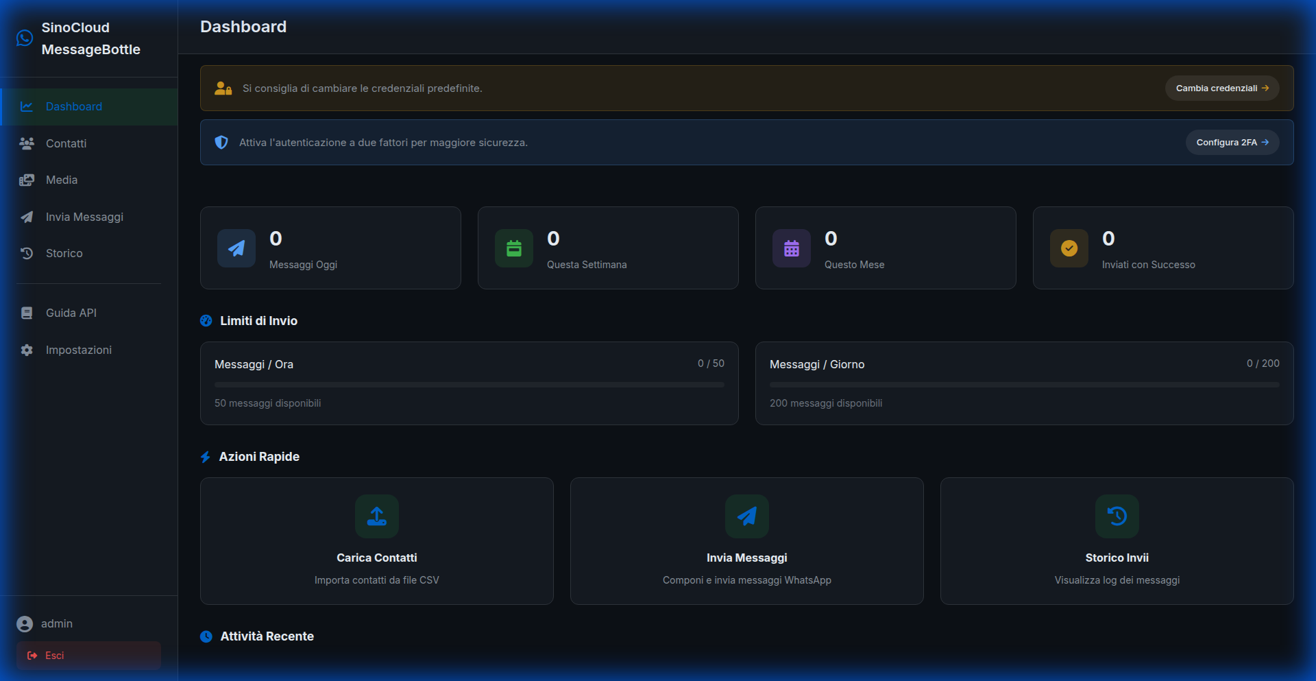
MessageBottle
MessageBottle is the AI assistant for WhatsApp that revolutionizes your communication. Automate replies, send smart messages and manage your contacts with the power of Artificial Intelligence.
Learn more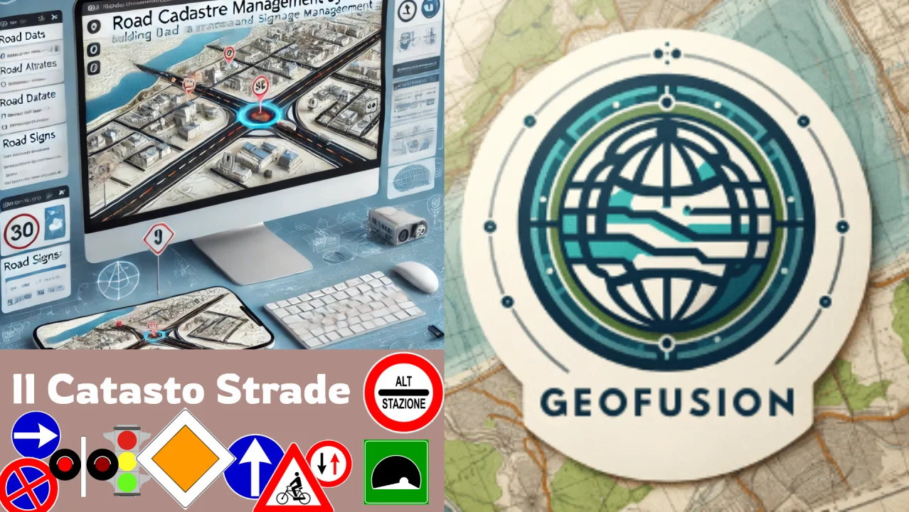
Catasto Strade
CATASTO_STRADE-3 is an advanced system for road registry management, with cross-platform support and an intuitive interface.

CivilGIS
CivilGIS is a GIS application dedicated to house-number census and topographic data management.
 Proprietary
Elettro
Elettro is the custom-built QGIS plugin for the census and maintenance of public lighting infrastructure: control panels, poles and cabling.
Learn more Proprietary
NoRats
NoRats is the custom-built QGIS plugin for the GIS management of municipal rat control campaigns: bait stations, inspections and reports for Public Administration.
Learn more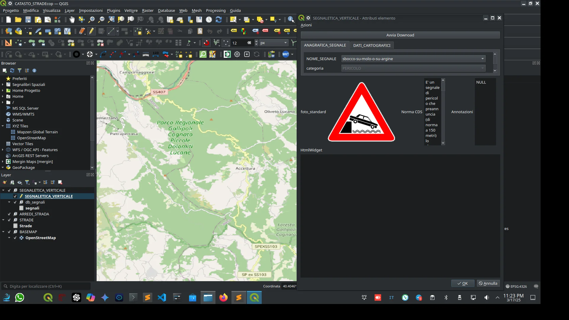
Spatiqon
Spatiqon integrates and analyzes geospatial data, offering a complete GIS service for in-depth analysis and flexible integrations.
Meteo_Predict
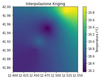
Meteo_Predict uses weather forecasting models to provide up-to-date data on atmospheric conditions and climate trends.
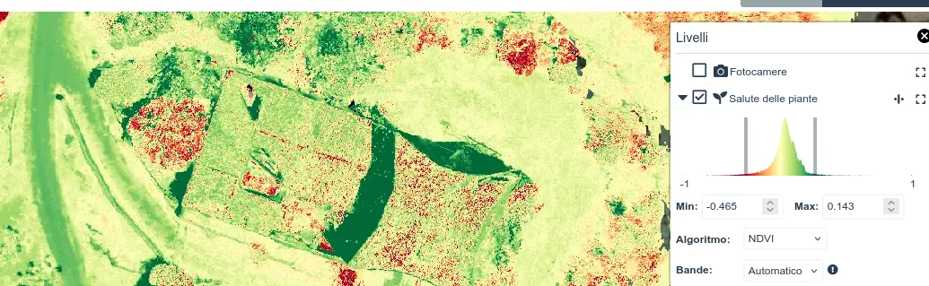
NDVI_Explorer
NDVI_Explorer is a tool dedicated to vegetation analysis and NDVI mapping to monitor the health of agricultural land.
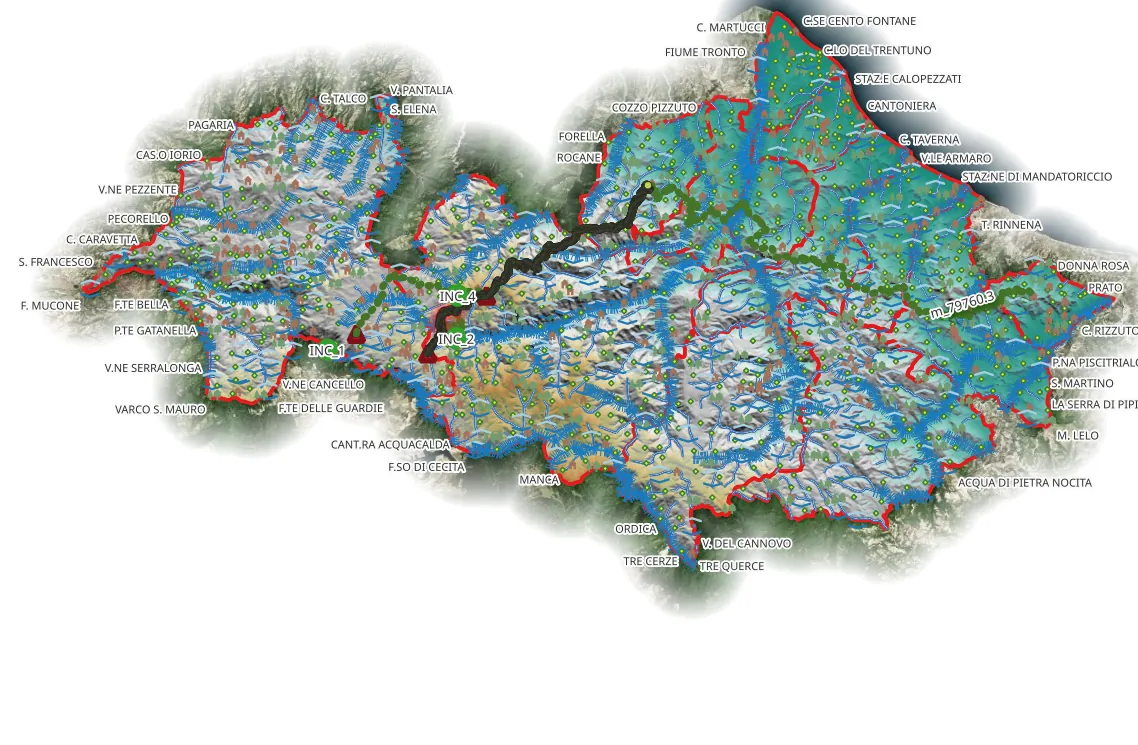
Walking Calabria
Walking Calabria is the ideal application for hiking enthusiasts who want to discover the natural trails of Calabria.
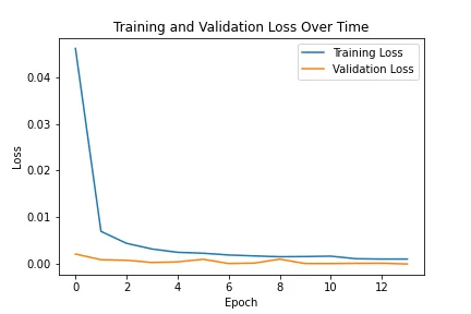
SolarFinder
SolarFinder uses drone imagery to read solar panel barcodes and analyze the condition of each module.
Frequently Asked Questions About My Products
Here you'll find answers to the most common questions about the GIS products offered by Sinocloud.it and Sarino Alfonso Grande.
Interested in My Products?
Contact me for information on licenses and customizations