
QGIS & Python GIS Courses | Online and in Calabria
QGIS and Python GIS Courses Online and in Calabria
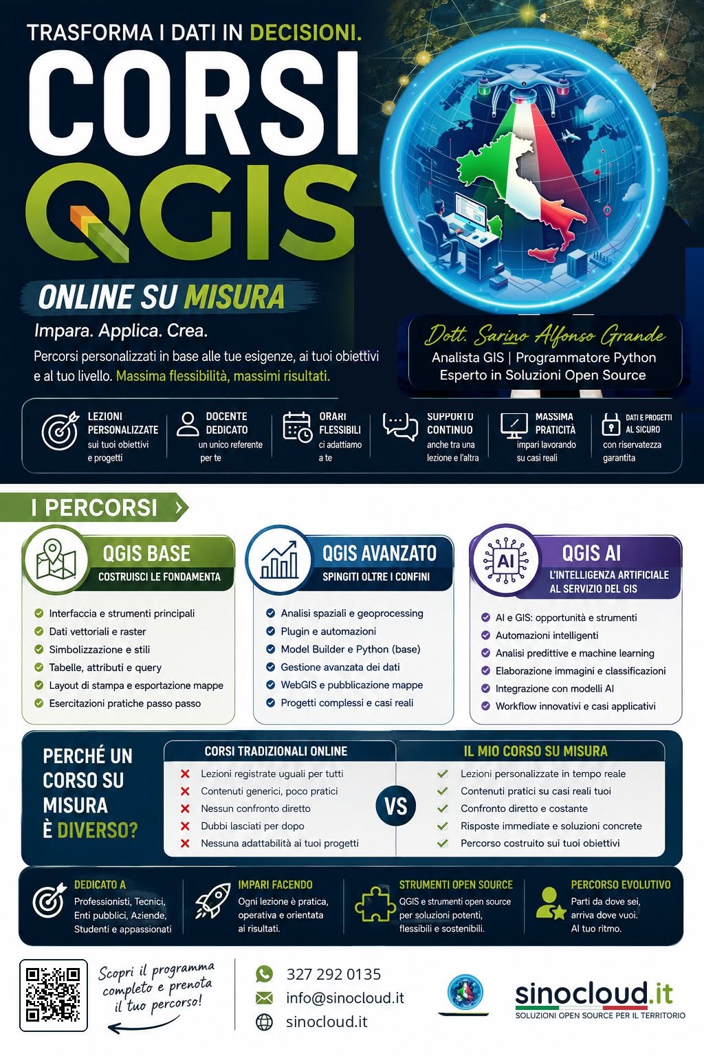
Professional training for surveyors, technicians, students and public authorities. Learn to analyze territory with QGIS and automate processes with Python.
Training in the geospatial field is essential for staying competitive. I offer beginner and intermediate QGIS courses, as well as advanced modules on Python applied to GIS (PyQGIS, GeoPandas). The courses are designed to be extremely hands-on, tailored specifically to the needs of surveyors, engineers and technical offices. Available both online and in person in Calabria.
My Courses
QGIS Beginner Course
Ideal for those just starting out. Learn the interface, how to load vector and raster data, set coordinate reference systems and create professional print layouts.
QGIS Intermediate Course
For those who want to go further: geoprocessing, spatial analysis, table joins, advanced styling rules and use of the field calculator.
Python for GIS
Automate QGIS through the Python console (PyQGIS) or analyze huge geographic datasets outside QGIS using GeoPandas and custom scripts.
Who is this training for?
- Surveyors and Engineers: To integrate GIS into everyday design work and topographic surveys.
- Public Authorities (Technical Offices): Group courses to update municipal staff on the use of free software (QGIS), moving away from costly proprietary solutions.
- University Students: Support for degree theses in scientific/environmental fields that require GIS processing.
- Companies: Tailored corporate training to integrate geospatial workflows into internal processes.
Frequently Asked Questions
Does SinoCloud offer QGIS courses?
Does SinoCloud offer Python GIS courses?
Do the courses include hands-on exercises?
Ready to gain new skills?
Contact me to find out the dates of upcoming courses or to arrange customized training.
Request Course Information