
Calabria is among the Italian regions most exposed to hydrogeological risk. According to ISPRA data, over 90% of Calabrian municipalities have areas at risk of landslide or flooding. The mountainous terrain, complex geology and intense weather events demand constant land monitoring.
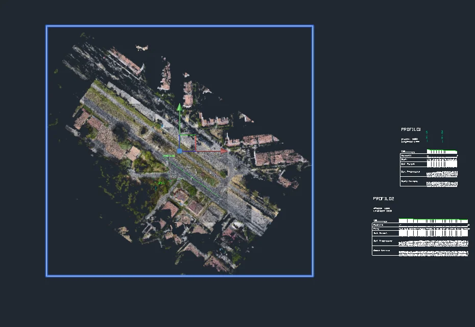
Professionals engaged in these activities – geologists, engineers, public bodies – need modern mapping tools and up-to-date territorial data. This is where my technology support comes in.
Data source: ISPRA - IdroGEO Platform